
A new AI feature in Google Earth now lets users create fabricated satellite images. Media professionals warn this tool could be used to spread disinformation. The update has immediate implications for newsrooms and OSINT analysts.
Media and publishing professionals who rely on satellite imagery for reporting, verification, or open source intelligence now face a new challenge. Google has introduced an AI-powered feature in Google Earth that enables users to generate entirely fabricated satellite images of any location. This development could have significant consequences for editorial workflows, fact-checking, and the credibility of visual evidence used in newsrooms and digital content operations.
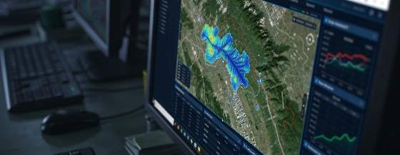
According to a report from 404media, the new tool allows anyone to create misleading or completely inaccurate satellite visuals. Users can make it appear as if a specific area has experienced events such as a drone strike, the sudden appearance of a nuclear facility, or a major accident, even if none of these incidents actually occurred. The ease with which these images can be produced raises concerns about the potential for disinformation campaigns and the erosion of trust in visual data.
Google Earth has long been a trusted resource for open source intelligence (OSINT) analysts, journalists, and researchers who monitor changes in conflict zones, disaster areas, and other regions of interest. The platform's ability to provide up-to-date, authentic satellite imagery has made it a cornerstone for digital verification and reporting. However, the introduction of AI-generated imagery now means that fabricated scenes can be created and distributed with minimal effort, complicating the work of those who depend on accurate visuals for their investigations.
Editorial teams, fact-checkers, and digital publishers may need to adapt their verification processes to account for the possibility of AI-manipulated satellite images. The risk of fabricated visuals being used to mislead audiences or influence public perception is now a pressing concern for anyone involved in content production, audience growth, or media monetization. As the boundaries between real and synthetic imagery blur, maintaining trust in digital content will require new strategies and tools for authentication.
404media encourages individuals with knowledge of Google's internal processes to share information securely, highlighting the ongoing scrutiny and debate surrounding the rollout of this AI feature. The implications for newsrooms, OSINT practitioners, and the broader media ecosystem are likely to be significant as the technology becomes more widely accessible.
Google, founded in 1998 and now a subsidiary of Alphabet Inc., operates one of the world's most widely used mapping platforms. Google Earth has hundreds of millions of users globally and is a key tool for journalists, researchers, and the public. The company has a history of integrating advanced AI features across its products, with recent investments in generative AI and machine learning technologies aimed at enhancing user experience and platform capabilities.